Nybster Broch | Caithness
Iron Age Atlantic roundhouse / broch at Nybster
Nybster Broch is a broch settlement at Nybster, around 10 miles north of Wick and 7 miles south of John O' Groats. A small car park is available, follow the road sign down to the parking area and walk along the coastal path to the broch.
The site consists of an Atlantic roundhouse with numerous external outbuildings with the settlement dating from around 500 years B.C. This settlement had around 18 buildings as well as the broch or Atlantic roundhouse and may have acted as a small village. The site has been excavated recently and the report on this is available from the Highland Council website. Roman finds have been discovered on this site demonstrating that trade existed between people living in this area 2000 to 2500 years ago.

Pictures of Nybster Broch and surrounding area


Atlantic roundhouse (broch)
Pictures around the broch settlement

The broch settlement is situated next to steep cliffs providing a defendable location.


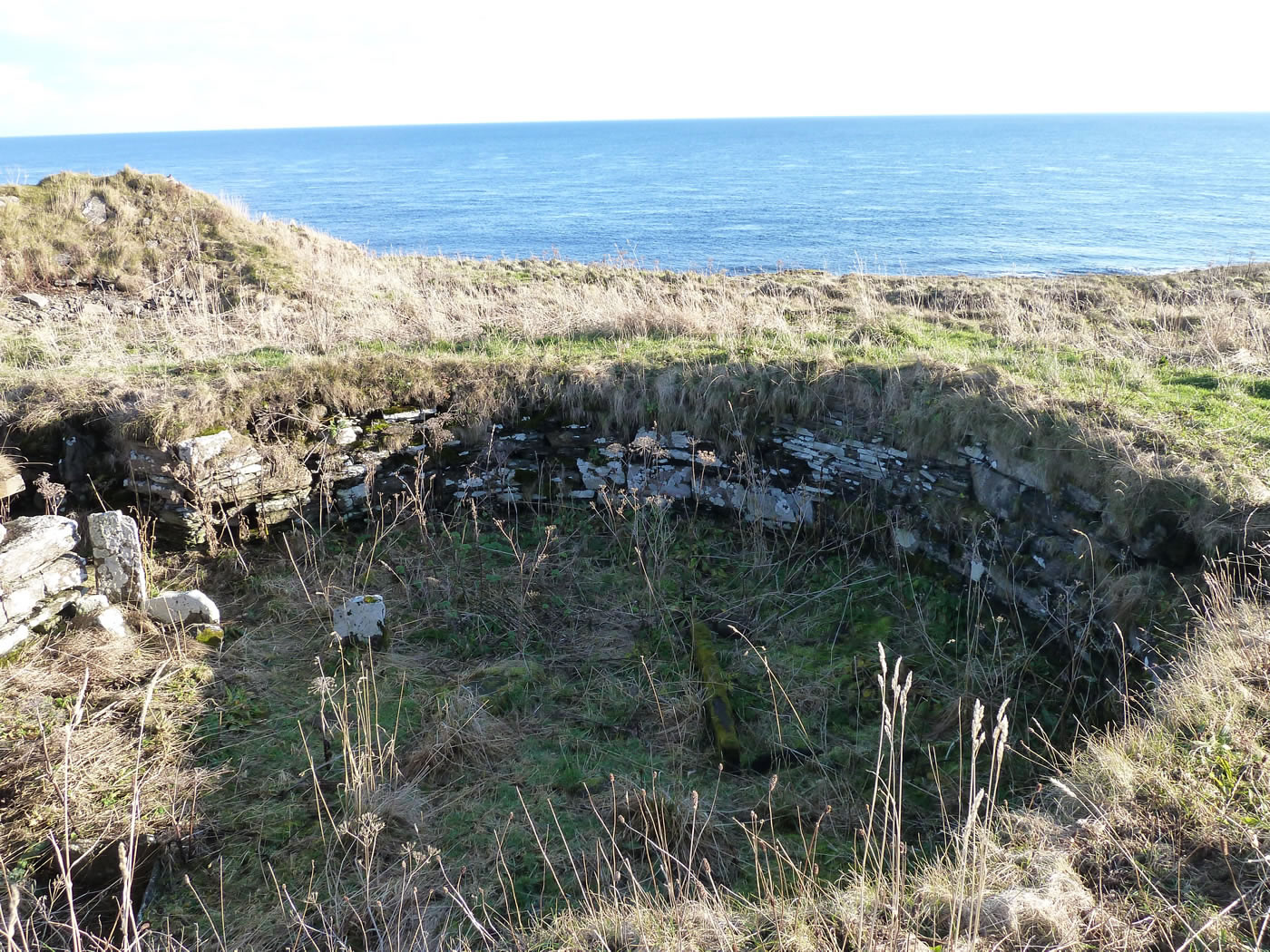
Nybster Broch excavated area


Nybster Broch more pictures

Cliffside position of the Nybster broch settlement and the monument.

In 1987, Mervyn’s Tower, the monument built by John Nicholson in memory of Sir Francis Tress Barry was moved from within the site's interior and relocated on the western side of the site - ref. Highland Council.
Nybster Broch Location Map
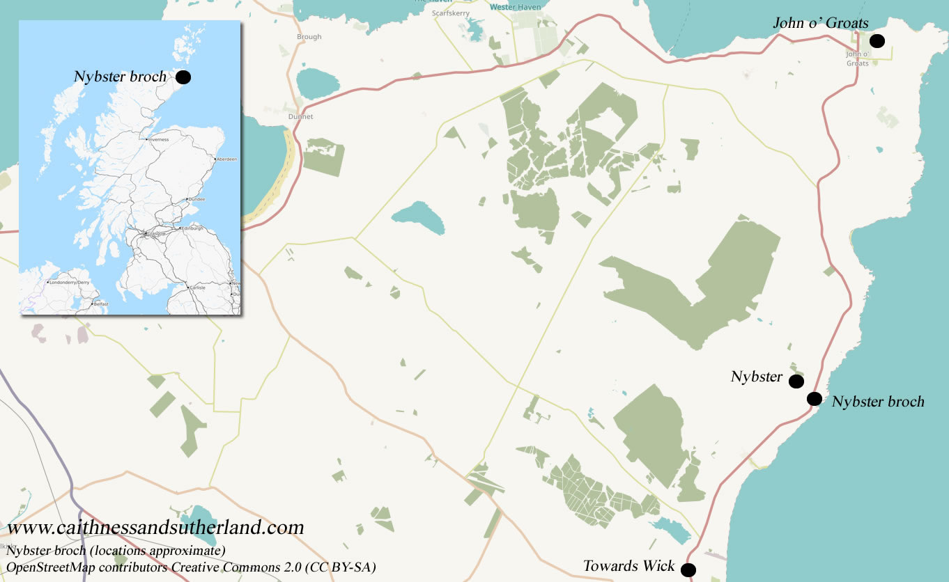
Nybster broch map location.